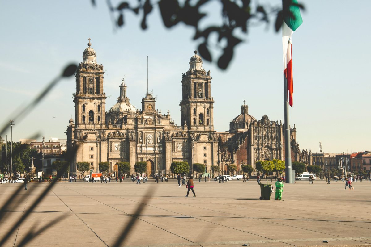
Mexico City wears its geology like a burden. Built atop an ancient lakebed of porous rock and sand, the sprawling capital has spent the last hundred years sinking into its own foundation. What was once a geological curiosity has become something far more dramatic: from space, you can now watch it happen in real time.
The culprit is straightforward. As millions of residents demand water, engineers pump it from deep aquifers beneath the city. When water leaves the ground, the earth collapses inward like a deflating mattress. Add the crushing weight of 21 million people, their buildings, highways, and infrastructure, and the subsidence accelerates. The Angel of Independence, a beloved statue anchoring Mexico City's most famous boulevard since 1910, needed 14 additional steps installed at its base just to remain accessible as the plaza sank around it.
Now, a satellite called NISAR (launched jointly by NASA and India's space agency in July 2025) is documenting the catastrophe with unsettling precision. Radar imagery shows parts of the city sinking more than 2 centimeters per month, which compounds to roughly 24 centimeters annually. For perspective, that's the height of a business envelope, or your tablet device, vanishing into the earth every single year.
The data spans October 2025 through January 2026, Mexico City's dry season when water depletion peaks. Some neighborhoods are subsiding faster than others, a pattern that will help city planners understand which areas face the most urgent threats. David Bekaert, a researcher on the NISAR team, called Mexico City "a well-known hot spot" for subsidence, emphasizing that this is just the opening chapter of what the satellite can reveal. NISAR carries the largest radar antenna NASA has ever launched into orbit, scanning Earth's surface twice every 12 days with revolutionary precision.
For travelers planning a visit to Mexico City, this isn't cause for alarm. The subsidence happens gradually enough that daily life continues. But it does reshape your understanding of the city's relationship with its landscape. When you stand before the Templo Mayor or gaze across the Valley of Mexico from a high vantage point, you're witnessing a place literally becoming smaller with each passing season.
The broader implications extend far beyond one city. As scientists race to understand how our planet's surface is shifting, NISAR's capabilities are opening new doors. The satellite tracks glacial retreat in polar regions, monitors earthquake risk along fault lines, watches wildfires spread across continents, and traces crop health across agricultural zones. This real-time planetary monitoring could eventually save lives and protect resources on a global scale.
Mexico City remains one of the world's most captivating destinations, a place where pre-Hispanic ruins stand beside colonial plazas and ultra-modern skyscrapers. The subsidence is a reminder of how cities live in constant negotiation with their environment. For visitors, it adds another layer to an already complex, endlessly fascinating metropolis.
If Mexico City is on your travel bucket list, there's no better time than the present. Visit the museums, explore the neighborhoods, taste the food, and witness a capital city managing one of the planet's most unusual environmental challenges with remarkable resilience.